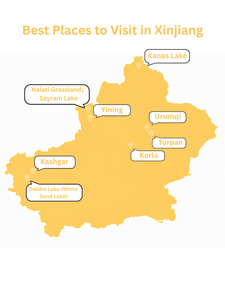
Day 1 — Urumqi → S101 Danxia Road → Kensiwate Reservoir → Jinghe
Distance / Time: Approx. 500 km / 7 hrs driving, plus scenic stops
Altitude: Urumqi approx. 800 m → Jinghe approx. 320 m
Accommodation: Jinghe
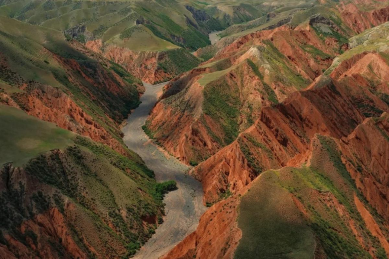
Depart from Urumqi and begin your Xinjiang road trip along the scenic S101 Danxia Road, a former defense highway known for red sandstone mountains, river valleys, and dramatic geological colors.
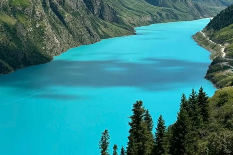
Stop at key viewpoints such as Baili Danxia, Camel Peak, and Qiankun Bend before continuing to Kensiwate Reservoir, where emerald water winds through red canyon walls. Arrive in Jinghe for overnight stay.
Highlights: S101 Danxia Road · Red canyon scenery · Kensiwate Reservoir · Xinjiang road trip landscapes
Day 2 — Jinghe → Sayram Lake → Guozigou Valley → Yining
Distance / Time: Approx. 280 km / 5 hrs driving, plus lake exploration
Altitude: Sayram Lake approx. 2,070 m → Yining approx. 660 m
Accommodation: Yining
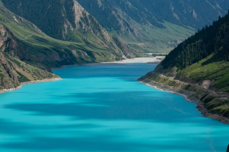
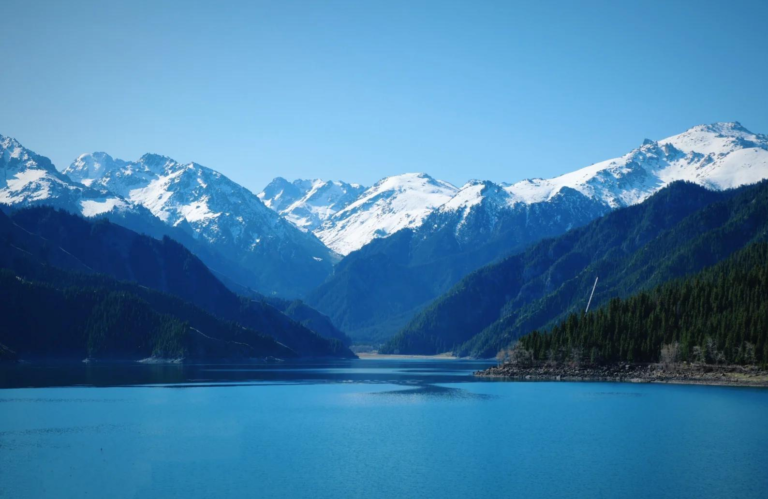
Travel to Sayram Lake, one of the most iconic alpine lakes in Xinjiang. Follow the lakeside road for panoramic views of blue water, grasslands, distant snow mountains, and wide open skies.
Continue through Guozigou Valley, where forests, mountain slopes, and the impressive Guozigou Bridge create one of the classic scenic approaches into Ili. Arrive in Yining for the evening.
Highlights: Sayram Lake · Lakeside road · Guozigou Bridge · Ili Valley scenery
Day 3 — Yining → Yizhao Highway → Tianma Yuhé → Zhaosu
Distance / Time: Approx. 122 km / 2.5–3 hrs driving, plus scenic stops
Altitude: Yining approx. 660 m → Zhaosu approx. 1,850 m
Accommodation: Zhaosu
Drive along the seasonal Yizhao Highway, one of the most beautiful mountain roads in Ili. The route crosses the Wusun Mountains with views of valleys, pastures, wheat fields, forests, and snow peaks.
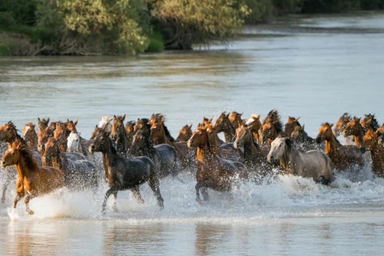
In Zhaosu, enjoy the famous Tianma Yuhé horse river-crossing performance, where Ili horses run through the river in the late afternoon light. This is one of the most dynamic photography moments of the journey.
Highlights: Yizhao Highway · Wusun Mountain views · Zhaosu horse culture · Tianma Yuhé
Day 4 — Zhaosu → Kalajun Grassland → Tekes
Distance / Time: Approx. 120 km / 2–2.5 hrs driving, plus grassland exploration
Altitude: Kalajun area approx. 1,600–2,800 m
Accommodation: Tekes
Explore Kalajun Grassland, known for its rolling “three-dimensional grassland” scenery, flower meadows, river valleys, and layered mountain views. Visit key areas such as East Kalajun and the Koksu Grand Canyon depending on weather and timing.
Continue to Tekes, famous for its Bagua-style city layout. In the evening, enjoy a relaxed walk through local streets and experience the cultural mix of Ili’s grassland towns.
Highlights: Kalajun Grassland · Koksu Grand Canyon · Tekes Bagua City · Ili grassland scenery
Day 5 — Tekes → Qiaxi Forest Park → Xinyuan
Distance / Time: Approx. 260 km / 4 hrs driving, plus scenic exploration
Altitude: Qiaxi area approx. 1,500–2,000 m
Accommodation: Xinyuan
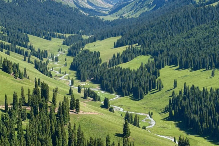
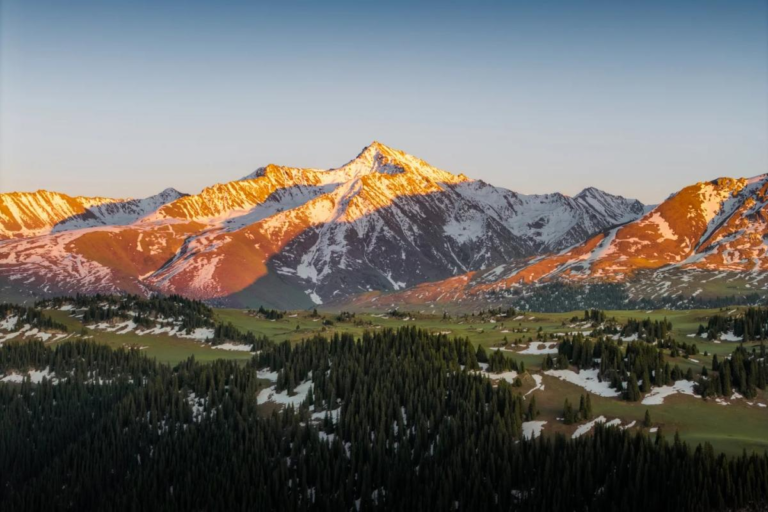
Travel to Qiaxi Forest Park, a quieter scenic area known for snow mountain views, spruce forests, streams, open meadows, and peaceful valley landscapes.
Stop at viewpoints such as Qiaxi Huajuan, Yanzi Bridge, and Shimen Waterfall when conditions allow. This day offers a slower, more intimate experience of Ili’s forest-and-grassland scenery.
Highlights: Qiaxi Forest Park · Spruce forests · Mountain streams · Quiet grassland scenery
Day 6 — Xinyuan → Nalati Grassland
Distance / Time: Approx. 70 km / 1.2 hrs driving, plus full-day grassland visit
Altitude: Nalati area approx. 1,800–2,200 m
Accommodation: Nalati
Spend the day exploring Nalati Grassland, one of the most representative grassland destinations in Xinjiang. The scenic area includes Sky Grassland, River Valley Grassland, forested slopes, snow mountain views, and nomadic pasture scenery.
Depending on your interests, optional activities may include light hiking, horse riding, photography stops, or a visit to Xuelian Valley for higher mountain scenery.
Highlights: Nalati Grassland · Sky Grassland · River Valley Grassland · Kazakh pasture scenery
Day 7 — Route Depending on Traveler Nationality & Road Access
Standard Route: Nalati → Duku Highway Middle Section → Bayinbuluk
Alternative Route for Foreign Passport Holders: Extended Nalati Grassland Experience
Accommodation: Bayinbuluk or Nalati, depending on access rules
For Hong Kong, Macau, Taiwan, and Chinese ID travelers, the standard route may continue to Bayinbuluk via the middle section of the Duku Highway, subject to seasonal road openings and local conditions. Bayinbuluk is known for its vast wetlands, Swan Lake, and the famous Nine Bends sunset viewpoint.
For foreign passport holders, Bayinbuluk and certain Duku Highway sections may be restricted or require special confirmation. In this case, the itinerary will stay one more day in Nalati, with deeper exploration of Sky Grassland, River Valley Grassland, Panlong Valley, Xuelian Valley, or nearby grassland communities.
Highlights: Duku Highway or extended Nalati Grassland · Flexible route · Seasonal road scenery · Grassland culture
Day 8 — Return to Urumqi
Standard Route: Bayinbuluk → Duku Highway North Section or S321 Alternative → Urumqi
Foreign Passport Route: Nalati → Urumqi by confirmed open road route
Distance / Time: Approx. 380–520 km / 7–9 hrs driving, depending on route
Return to Urumqi by the best available route based on road openings, weather, and traveler access rules. If the Duku Highway North Section is open and accessible, the route offers mountain passes, forests, valleys, and dramatic changes of scenery.
If Duku Highway access is restricted or weather conditions are not suitable, return via the safer highway route through northern Xinjiang. The journey ends upon arrival in Urumqi.
Highlights: Return road journey · Tianshan landscapes · Flexible safe routing · Arrival in Urumqi